Copyright Microburbs Pty Ltd 2014-
2025
.
Contact us
for licensing
Close
GET REPORT
New
Explorer
Profile Page
Logout
Sign Up
Login
Blog
Products
Subscriptions
Suburb Finder
Suburb Reports
Suburb DataExplorer
Free Data Consultation
API Access
Consulting Services
AI Property Finder
Coming Soon
Suburb Finder
2025 Suburb Reports
AI Property Finder
Profiles
People & Lifestyle
Crime & Disadvantage
Real Estate
Affluence & Economy
Environment
Nearby Suburbs
Turners Marsh
Patersonia
Rocherlea
Dilston
Karoola
Lalla
Lilydale (Tas.)
Lisle
Nunamara
Mowbray (Tas.)
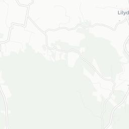
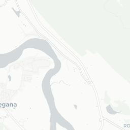
Crime & Safety in Underwood (Tas.) TAS 7268: Is it safe?
Safety Score in Underwood (Tas.)
The higher the score, the more free the area is from crime.
Sources: TORREN and Microburbs, 1997 - 2023
Field
Value
VS Launceston and North East Tas
Trend
Night time safety (LGA)
48.1%
Bottom 19%
Data for Dec 2014
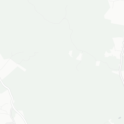
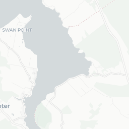
Disadvantage in Underwood (Tas.)
Underwood (Tas.) Hyperlocal Public Housing Map
Sample Graphic
The proportion of residents under 65 who rely on government support, live in high stress environments or are otherwise alienated from mainstream society.
Sources: ABS, ATO, DSS, TORREN and Microburbs, 2001 - 2023
Underwood (Tas.)
16.9%
Underwood (Tas.)
16.9%
Launceston and North East Tas
19.9%
Launceston and North East Tas
19.9%
Compare
Suburbs
Field
Value
VS Launceston and North East Tas
Trend
Alienation level
4.9
Top 40%
0% to Dec 2019
Homelessness (SA2)
0.6%
Bottom 43%
35% to Dec 2019
Average welfare payments (Postcode)
$6,480
Bottom 49%
8% to Dec 2019
Public housing
0.0%
Bottom 38%
Data for Jan 2021
Unemployed
0.6%
Top 39%
54% to Dec 2021
Welfare recipients (Postcode)
36
Bottom 29%
10% to Dec 2020
Addiction Levels in Underwood (Tas.)
The proportion of residents who have at least one addiction including alcoholism, gambling and illicit drugs.
Sources: TORREN and Microburbs, 2023
Underwood (Tas.)
47.0
Underwood (Tas.)
47.0
Launceston and North East Tas
51.4
Launceston and North East Tas
51.4
Compare
Suburbs
Field
Value
VS Launceston and North East Tas
Trend
Alcoholics - people (LGA)
13.0%
Bottom 23%
Data for Dec 2018
Loading entities ..
+
−
Leaflet
Subscribe
to see the map content. See samples:
Surry Hills (NSW)
St Kilda (Vic.)
Fortitude Valley
Kent Town
Northbridge (WA)
Darwin City
Glenorchy (Tas.)
Expand ↗️
Loading choropleth for Night time safety (LGA)
Min
Max
Subscribe
to see the timeline. See samples:
Surry Hills (NSW)
St Kilda (Vic.)
Fortitude Valley
Kent Town
Northbridge (WA)
Darwin City
Glenorchy (Tas.)
Profiles
People & Lifestyle
Crime & Disadvantage
Real Estate
Affluence & Economy
Environment
Nearby Suburbs
Turners Marsh
Patersonia
Rocherlea
Dilston
Karoola
Lalla
Lilydale (Tas.)
Lisle
Nunamara
Mowbray (Tas.)
.png)