Copyright Microburbs Pty Ltd 2014-
2025
.
Contact us
for licensing
Close
GET REPORT
New
Explorer
Profile Page
Sign Up
Login
Blog
Products
Subscriptions
Suburb Finder
Suburb Reports
Suburb DataExplorer
Free Data Consultation
API Access
Consulting Services
AI Property Finder
Coming Soon
Suburb Finder
2025 Suburb Reports
AI Property Finder
Profiles
People & Lifestyle
Crime & Disadvantage
Real Estate
Affluence & Economy
Environment
Nearby Suburbs
Munno Para West
Penfield Gardens
Munno Para Downs
Gawler River
Buchfelde
Macdonald Park
Hillier
Lewiston
Andrews Farm
Ward Belt
Is Angle Vale SA 5117 peaceful and clean? (Natural Environment, Pollution and Noise)
Tranquility Score in Angle Vale
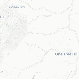
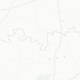
Angle Vale Noise Heat Map
Sample Graphic
The higher the score, the more peaceful and natureful a suburb is.
Sources: GEOSPATIAL, TORREN, ABS and Microburbs, 2011 - 2045
Angle Vale
86.0
Angle Vale
86.0
Adelaide
81.8
Adelaide
81.8
Compare
Suburbs
Field
Value
VS Adelaide
Trend
Parkland proportion
0%
Bottom 12%
Data for Jan 2021
Residential density
650 sqm per resident
Bottom 36%
Data for Jan 2021
Climate Score in Angle Vale
The proportion of pleasant days in an average year (moderate temperature, sunlight and low humidity).
Sources: BOM and Microburbs, 2023
Angle Vale
69.2
Angle Vale
69.2
Adelaide
66.8
Adelaide
66.8
Compare
Suburbs
Field
Value
VS Adelaide
Trend
Maximum Humidity: Annual
82.0%
Bottom 7%
Data for Jan 2023
Maximum Temperature: Annual
23.0 °C
Bottom 41%
Data for Jan 2023
Rainfall (average daily): Annual
1.2mm
Bottom 15%
Data for Jan 2023
Solar Radiation: Annual
18.0MJ/sq m
Top 49%
Data for Jan 2023
Wind Speed: Annual
4.5m/sec
Top 23%
Data for Jan 2023
Risk in Angle Vale
Angle Vale Risk Report
Sample Graphic
The proportion of suburb officially designated as at environmental risk including bushfires, landslides and flooding.
Sources: GEOSPATIAL and Microburbs, 2023
Angle Vale
90.1%
Angle Vale
90.1%
Adelaide
69.0%
Adelaide
69.0%
Compare
Suburbs
Field
Value
VS Adelaide
Trend
Median earthquake hazard risk
0.0
Bottom 43%
Data for Jun 2023
Loading entities ..
+
−
Leaflet
Subscribe
to see the map content. See samples:
Surry Hills (NSW)
St Kilda (Vic.)
Fortitude Valley
Kent Town
Northbridge (WA)
Darwin City
Glenorchy (Tas.)
Expand ↗️
Loading Choropleth Data
Min
Max
Subscribe
to see the timeline. See samples:
Surry Hills (NSW)
St Kilda (Vic.)
Fortitude Valley
Kent Town
Northbridge (WA)
Darwin City
Glenorchy (Tas.)
Profiles
People & Lifestyle
Crime & Disadvantage
Real Estate
Affluence & Economy
Environment
Nearby Suburbs
Munno Para West
Penfield Gardens
Munno Para Downs
Gawler River
Buchfelde
Macdonald Park
Hillier
Lewiston
Andrews Farm
Ward Belt
.png)