Copyright Microburbs Pty Ltd 2014-
2025
.
Contact us
for licensing
Close
GET REPORT
New
Explorer
Profile Page
Logout
Sign Up
Login
Blog
Products
Subscriptions
Suburb Finder
Suburb Reports
Suburb DataExplorer
Free Data Consultation
API Access
Consulting Services
AI Property Finder
Coming Soon
Suburb Finder
2025 Suburb Reports
AI Property Finder
Profiles
People & Lifestyle
Crime & Disadvantage
Real Estate
Affluence & Economy
Environment
Nearby Suburbs
Cobram East
Muckatah
Koonoomoo
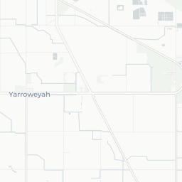
Yarroweyah
Katamatite
Katunga
Naring
Katamatite East
Strathmerton
Mywee
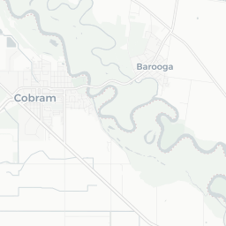
Is Cobram VIC 3644 peaceful and clean? (Natural Environment, Pollution and Noise)
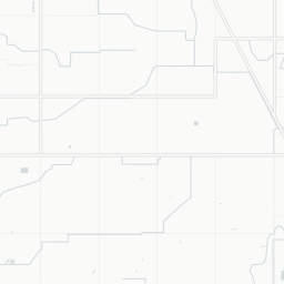
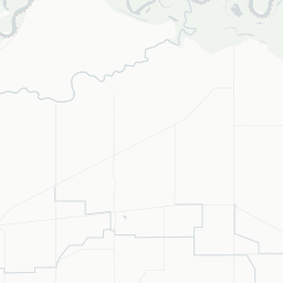
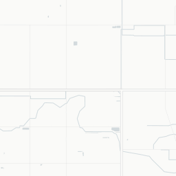
Tranquility Score in Cobram
Cobram Noise Heat Map
Sample Graphic
The higher the score, the more peaceful and natureful a suburb is.
Sources: GEOSPATIAL, ABS and Microburbs, 2011 - 2023
Cobram
82.0
Cobram
82.0
Shepparton
82.3
Shepparton
82.3
Compare
Suburbs
Field
Value
VS Shepparton
Trend
Noise Score
2.3
Top 42%
Data for Jun 2023
Parkland proportion
10%
Top 45%
Data for Jan 2021
Residential density
3000 sqm per resident
Top 34%
Data for Jan 2021
Climate Score in Cobram
The proportion of pleasant days in an average year (moderate temperature, sunlight and low humidity).
Sources: BOM, TORREN and Microburbs, 2022 - 2023
Cobram
56.4
Cobram
56.4
Shepparton
54.4
Shepparton
54.4
Compare
Suburbs
Field
Value
VS Shepparton
Trend
Maximum Humidity: Annual
89.0%
Bottom 38%
Data for Jan 2023
Maximum Temperature: Annual
23.0 °C
Bottom 44%
Data for Jan 2023
Rainfall (average daily): Annual
1.4mm
Bottom 23%
Data for Jan 2023
Solar Radiation: Annual
18.0MJ/sq m
Bottom 48%
Data for Jan 2023
Wind Speed: Annual
3.4m/sec
Bottom 34%
Data for Jan 2023
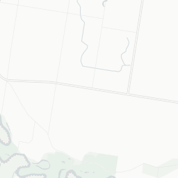
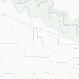
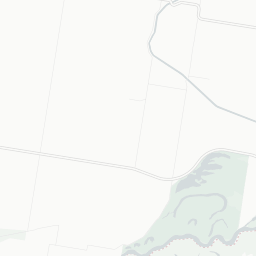
Risk in Cobram
Cobram Risk Report
Sample Graphic
The proportion of suburb officially designated as at environmental risk including bushfires, landslides and flooding.
Sources: GEOSPATIAL and Microburbs, 2023
Cobram
67.1%
Cobram
67.1%
Shepparton
78.9%
Shepparton
78.9%
Compare
Suburbs
Field
Value
VS Shepparton
Trend
Flood planning area proportion
0.4%
Top 15%
Data for Jun 2023
Median earthquake hazard risk
0.0
Bottom 43%
Data for Jun 2023
Loading entities ..
+
−
Leaflet
Subscribe
to see the map content. See samples:
Surry Hills (NSW)
St Kilda (Vic.)
Fortitude Valley
Kent Town
Northbridge (WA)
Darwin City
Glenorchy (Tas.)
Expand ↗️
Loading Choropleth Data
Min
Max
Subscribe
to see the timeline. See samples:
Surry Hills (NSW)
St Kilda (Vic.)
Fortitude Valley
Kent Town
Northbridge (WA)
Darwin City
Glenorchy (Tas.)
Profiles
People & Lifestyle
Crime & Disadvantage
Real Estate
Affluence & Economy
Environment
Nearby Suburbs
Cobram East
Muckatah
Koonoomoo
Yarroweyah
Katamatite
Katunga
Naring
Katamatite East
Strathmerton
Mywee
.png)